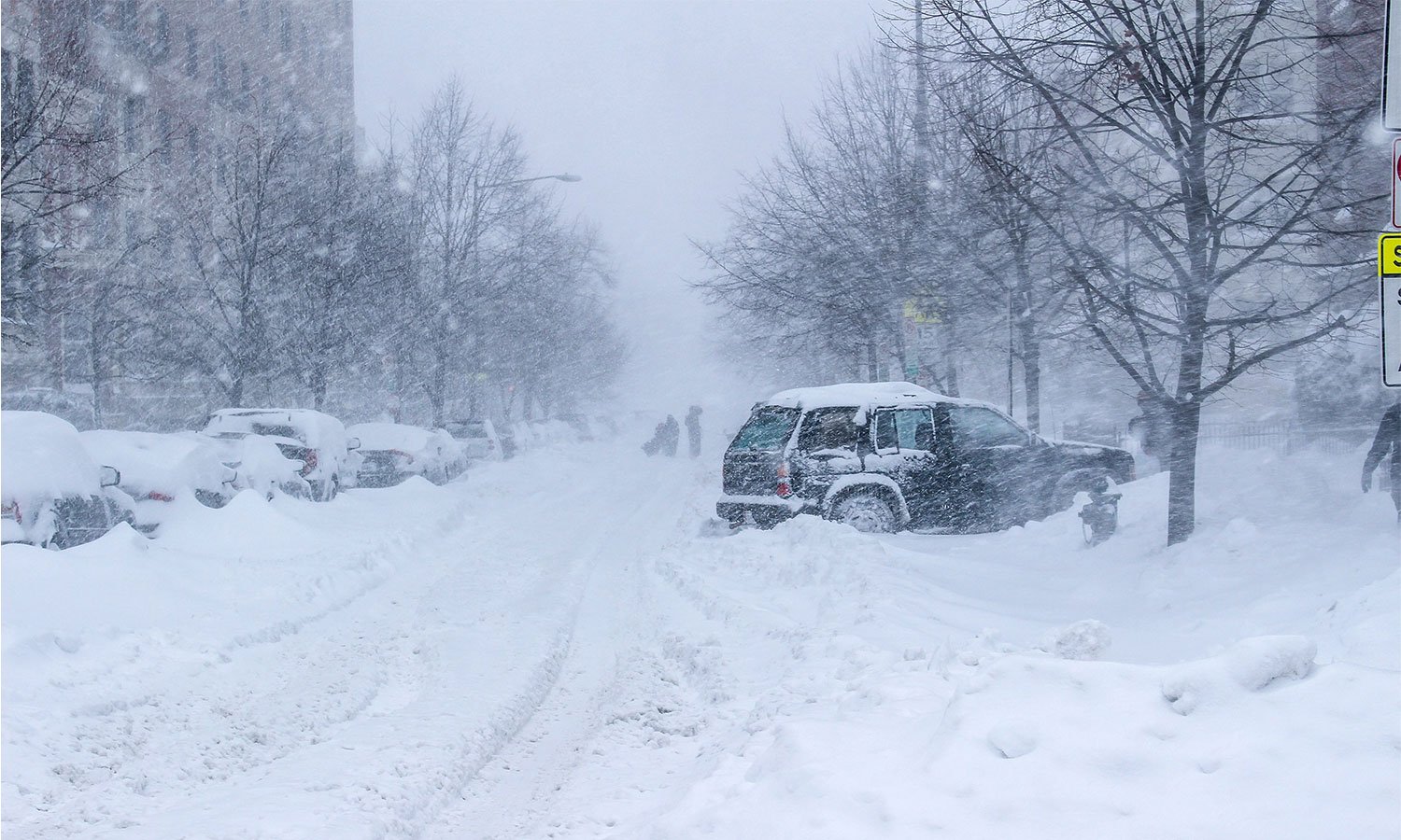
A minor clipper system delivered light snowfall near the Canadian border on Saturday morning, with a similar occurrence on Sunday morning. Another small system may bring additional light snow Monday night. However, an unseasonal warm spell is set to push temperatures into the 40s and 50s for much of the upcoming week, defying typical early March weather patterns.
This unexpected warmth is part of a broader trend of climate variability, raising concerns about long-term shifts in seasonal norms. While colder conditions generally dominate this time of year, the region is experiencing an early taste of spring, which may have implications for snowfall totals, ice cover, and ecological cycles. This pattern of irregular temperature fluctuations is something meteorologists continue to monitor, as it aligns with ongoing climate changes observed in recent years.
Looking ahead, the warmer air could significantly impact the type of precipitation expected from a larger system forecasted for next weekend. As of now, the higher temperatures suggest that rain is more likely than snow. However, the possibility of snowfall still exists, depending on the system’s final trajectory and temperature fluctuations. The potential for mixed precipitation or a shift back to snowier conditions remains on the radar.
The interplay between these systems highlights the complexity of forecasting in a changing climate. While individual storms vary, the broader trend of warming winters has become increasingly evident, affecting snowfall distribution, river ice formation, and even wildlife behavior. As the week progresses, meteorologists will continue tracking conditions to determine how this warming trend influences the weekend’s storm system and whether the region will see more rain or a return to traditional March snow.
Source: Swifteradio.com


